(Image source from: Indianexpress.com)
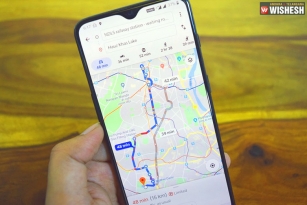
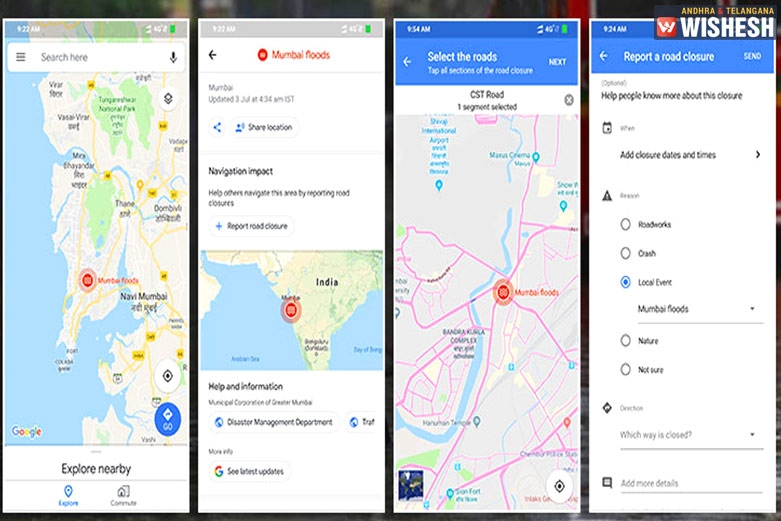
Google Maps Helping Mumbai People Locate Closed Roads:- The heavy rains in Mumbai lashed the entire city and left waterlogged leaving the normal life in a standstill. With over 40 people killed through the deadly rains, the government is taking all the measures to ensure all the people are safe. The city can manage 37.1mm rainfall but it received 375.2mm. Several roads in the city are now closed across Mumbai. Google Maps is now helping the citizens of the city to locate the closed roads and find alternate routes to reach their destinations.
One can report about a closed road on Google Maps so that the people moving around the region can avoid such roads. This can be done by opening Google Maps and tap on the red colored Mumbai floods icon. A list of options including report road closure, share the location, information from the disaster management department are available on Google Maps. People can select the road on the map and tap on next. Then you can add the details about the road closure that helps other commuters in the city.