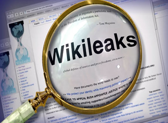
Wikileaks the whistleblower of the world has made a rather large goof up with their cartography by listing PoK as Pakistan rather than being a part of Kashmir, India occupied by Pakistan. The global map was released recently.
What should originally have been listed on the either sides of the Line of Control, LoC, was included in Pakistan. In the accepted terms, the Pakistan side of the LoC is called Pak-occupied-Kashmir and the Indian side is India-controlled Kashmir.
This global map is an interactive interface for the people to search into any of the millions of cables that were dug out by Wikileaks. The user-friendly map was released yesterday.
Washington's Indian Embassy was not reachable for comment on the goof up and what measures were being taken for the corrections according to the facts. It is not yet clear if they even know of the blunder by Wikileaks.
The interactive map was released by Wikileaks yesterday, so as to help people to search into it's 1.7 million cables in a user-friendly manner. Wikileaks on the other hand mentioned that the map was created based on the boundaries in 1975.
(AW- Anil)